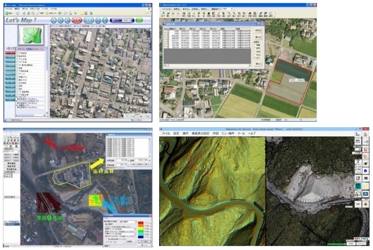
Geographic Information System
Based on the high-precision surveying technology and rich experience, the development ability of the geographic information system
We are based on the wealth of experience related to the measurement, analysis and use of geospatial data, software development and system construction and operation for the environment, disaster prevention, and infrastructure management support and local goverment support, etc., to the needs of the client we develop the suits most appropriate GIS and software.