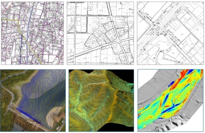
Cartography
From high-precision aerial photography and airborne laser, to create a high-quality map data
We will create a digital map data that can be cooperation with the database to display a varity of survey data on the computer.
In addition, we also can create detailed, high-quality map along to a variety of rules.
Moreover, we will create a variety of analysis diagram in accordance with the purpose and application from the three-dimensional data obtained by the "airborne laser measurement system."