Comfort, Safety, and Convenience in Specialized Aircraft Utilization
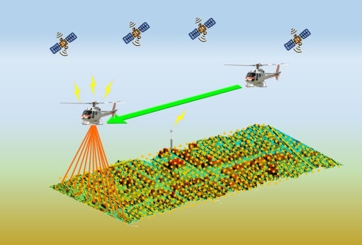
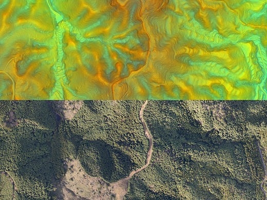
Nakanihon has experience in aerial and ground laser measurements,aerial photo shoots, remote sensing / echo sounding through the use of the most advanced research and surveying techniques, and in precise three dimension al information collating.In addition, Nakanihon can enhance high altitude spatial imagery for analysis and manipulation in order to provide detailed information for studies on the environment, on disaster prevention and on infrastructure management.