Notice
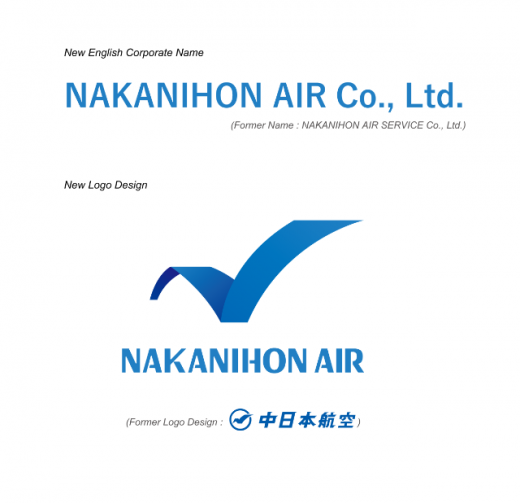
We are pleased to announce that our company changed its English corporate name and the logo as follows with effect from 1st July 2020.
Date of Change: 1st July, 2020
We look forward to your continued support in the future.
About Us
As an integrated aviation services company, NAKANIHON AIR offers both fixed-wing aircraft and helicopters to match our customers’ requirements exactly.
Airplanes and helicopters are unique in their ability to provide swift and easy transit and transport to the destination without concern for topography, roads, and other constraints. NAKANIHON AIR is continually developing diverse and multifaceted aviation services that take full advantage of these abilities. Beyond our basics of charter flights, goods transport, and aerial photography, we also offer spatial information acquisition services such aerial imagery acquisition, environmental studies, cartography, and laser measurement. In addition, we also offer product sales, pilot training and development, and sightseeing flight services.

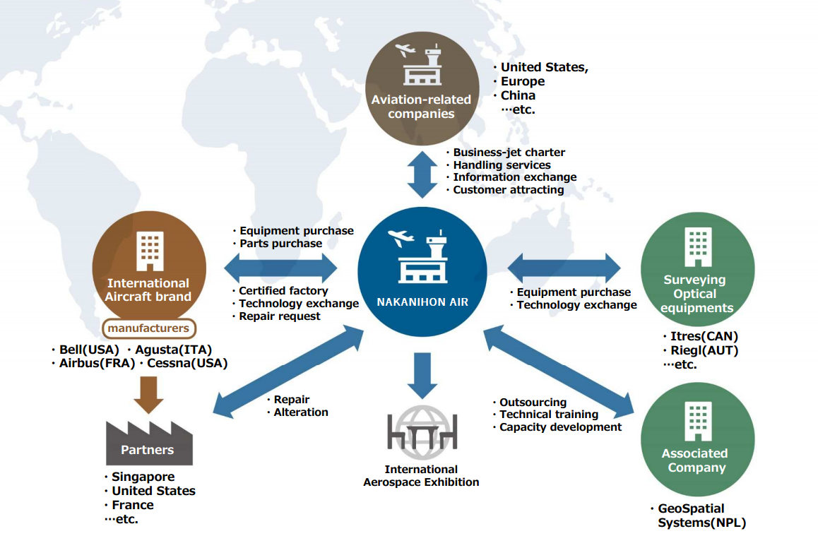
Our scope of activity
It is a large two features of NAKANIHON AIR.
"Aviation business," "Research and survey business."
By combining these features (=Synergy), We are to create The Global Business Development.
Main businesses
Aviation
- Tourist transport
- Goods transport
- Air medical transit
- Aerial photography
- News gathering
- Outsourced services contracting
- Repairs
- Customization
- Air Charter
Research and Survey
Measurement technologies
Geospatial information technologies

Brochure of Company profile
Associated Company
GeoSpatial Systems Pvt. Ltd.
Jawalakhel, Lalitpur-4, Nepal
GPO Box No. 8975/EPC 886
Telephone : +977-1-5531131
Fax : +977-1-5531431
Mail : info@geosp.com
URL : www.geosp.com